
Thank you for supporting this site ❤️
Make a donation
Make a donation
Mayo topographic map
Click on the map to display elevation.
Thank you for supporting this site ❤️
Make a donation
Make a donation
About this map
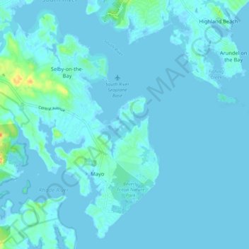
Name: Mayo topographic map, elevation, terrain.
Location: Mayo, Anne Arundel County, Maryland, United States (38.86649 -76.55288 38.93641 -76.47050)
Average elevation: 3 m
Minimum elevation: -3 m
Maximum elevation: 30 m
Thank you for supporting this site ❤️
Make a donation
Make a donation