
Cerro Chato topographic map
Interactive map
Click on the map to display elevation.
About this map
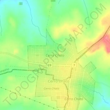
Name: Cerro Chato topographic map, elevation, terrain.
Location: Cerro Chato, Durazno, 35200, Uruguay (-33.10455 -55.14372 -33.09200 -55.12568)
Average elevation: 248 m
Minimum elevation: 216 m
Maximum elevation: 286 m