
İncecikler topographic map
Interactive map
Click on the map to display elevation.
About this map
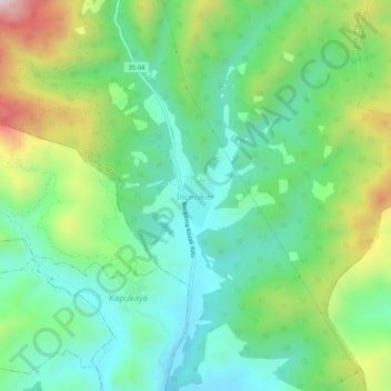
Name: İncecikler topographic map, elevation, terrain.
Location: İncecikler, Bergama, Izmir, Aegean Region, Turkey (39.16480 27.13384 39.20480 27.17384)
Average elevation: 328 m
Minimum elevation: 155 m
Maximum elevation: 706 m