
Acora topographic map
Interactive map
Click on the map to display elevation.
About this map
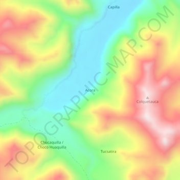
Name: Acora topographic map, elevation, terrain.
Location: Acora, Macusani, Carabaya, Puno, Perú (-14.12494 -70.63892 -14.08494 -70.59892)
Average elevation: 4,796 m
Minimum elevation: 4,526 m
Maximum elevation: 5,120 m
Other topographic maps
Click on a map to view its topography, its elevation and its terrain.