
Cayalti topographic map
Interactive map
Click on the map to display elevation.
About this map
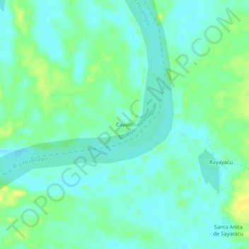
Name: Cayalti topographic map, elevation, terrain.
Location: Cayalti, Alto Amazonas, Loreto, Perú (-5.60902 -75.94495 -5.56902 -75.90495)
Average elevation: 122 m
Minimum elevation: 115 m
Maximum elevation: 135 m