
Weed topographic map
Interactive map
Click on the map to display elevation.
About this map
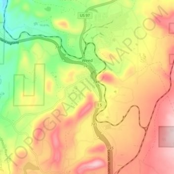
Name: Weed topographic map, elevation, terrain.
Location: Weed, Siskiyou County, California, USA (41.38283 -122.40131 41.44371 -122.35404)
Average elevation: 1,116 m
Minimum elevation: 932 m
Maximum elevation: 1,285 m