
Isnos topographic map
Interactive map
Click on the map to display elevation.
About this map
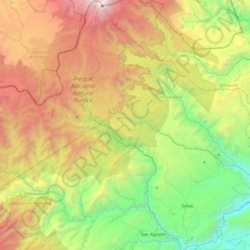
Name: Isnos topographic map, elevation, terrain.
Location: Isnos, Sur, Huila, Colombia (1.85440 -76.42605 2.27909 -76.07694)
Average elevation: 2,471 m
Minimum elevation: 1,081 m
Maximum elevation: 4,618 m