
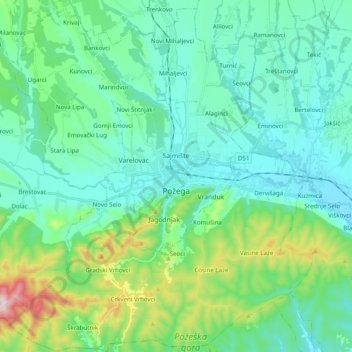
Grad Požega topographic map
Interactive map
Click on the map to display elevation.
About this map
Name: Grad Požega topographic map, elevation, terrain.
Location: Grad Požega, Požega-Slavonia County, 34000, Croatia (45.26777 17.56777 45.40587 17.75298)
Average elevation: 222 m
Minimum elevation: 127 m
Maximum elevation: 595 m