
Telhada topographic map
Interactive map
Click on the map to display elevation.
About this map
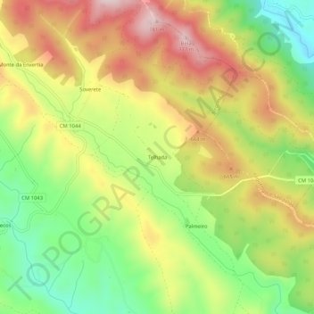
Name: Telhada topographic map, elevation, terrain.
Location: Telhada, Alegrete, Portalegre, Alentejo, 7300-311, Portugal (39.24110 -7.30189 39.28110 -7.26189)
Average elevation: 575 m
Minimum elevation: 387 m
Maximum elevation: 774 m