
Carnforth topographic map
Click on the map to display elevation.
About this map
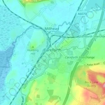
Name: Carnforth topographic map, elevation, terrain.
Location: Carnforth, Lancaster, Lancashire, England, United Kingdom (54.11237 -2.79634 54.14223 -2.73563)
Average elevation: 28 m
Minimum elevation: 0 m
Maximum elevation: 139 m