
San Ignacio topographic map
Interactive map
Click on the map to display elevation.
About this map
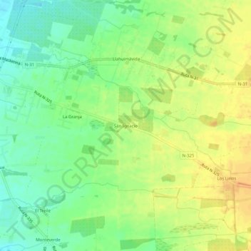
Name: San Ignacio topographic map, elevation, terrain.
Average elevation: 195 m
Minimum elevation: 179 m
Maximum elevation: 210 m
Other topographic maps
Click on a map to view its topography, its elevation and its terrain.
Los Alamos
Chile > Región de Ñuble > Provincia de Punilla > San Carlos
Los Alamos, San Carlos, Provincia de Punilla, Región de Ñuble, 3841660, Chile
Average elevation: 178 m