
Thank you for supporting this site ❤️
Make a donation
Make a donation
Skurweberg topographic map
Click on the map to display elevation.
Thank you for supporting this site ❤️
Make a donation
Make a donation
About this map
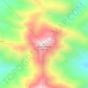
Name: Skurweberg topographic map, elevation, terrain.
Average elevation: 971 m
Minimum elevation: 557 m
Maximum elevation: 1,441 m
Thank you for supporting this site ❤️
Make a donation
Make a donation
Other topographic maps
Click on a map to view its topography, its elevation and its terrain.
Garden Route Dam
South Africa > Western Cape > Garden Route District Municipality > George Local Municipality
Average elevation: 201 m
Swart River
South Africa > Western Cape > Garden Route District Municipality > George Local Municipality
Average elevation: 342 m