
Thank you for supporting this site ❤️
Make a donation
Make a donation
dhaulagiri topographic map
Click on the map to display elevation.
Thank you for supporting this site ❤️
Make a donation
Make a donation
About this map
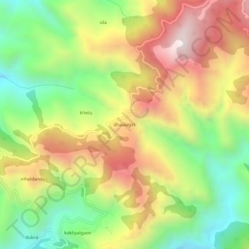
Name: dhaulagiri topographic map, elevation, terrain.
Location: dhaulagiri, Dhanaulti, Tehri Garhwal, Uttarakhand, India (30.32671 78.15837 30.36671 78.19837)
Average elevation: 1,440 m
Minimum elevation: 960 m
Maximum elevation: 1,986 m
Thank you for supporting this site ❤️
Make a donation
Make a donation