
Kist topographic map
Interactive map
Click on the map to display elevation.
About this map
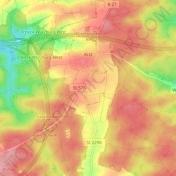
Name: Kist topographic map, elevation, terrain.
Average elevation: 346 m
Minimum elevation: 271 m
Maximum elevation: 392 m
Other topographic maps
Click on a map to view its topography, its elevation and its terrain.
Veitshöchheim
Germany > Bavaria > Landkreis Würzburg
Veitshöchheim, Landkreis Würzburg, Bavaria, 97209, Germany
Average elevation: 247 m
Prosselsheim
Germany > Bavaria > Landkreis Würzburg
Prosselsheim, Estenfeld (VGem), Landkreis Würzburg, Bavaria, 97279, Germany
Average elevation: 276 m
Aub
Germany > Bavaria > Landkreis Würzburg
Aub, Verwaltungsgemeinschaft Aub, Landkreis Würzburg, Bavaria, 97239, Germany
Average elevation: 317 m