
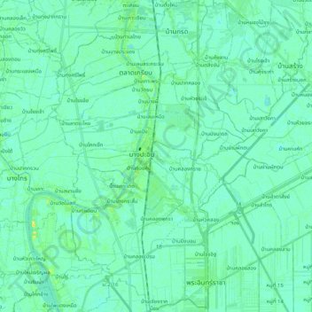
อำเภอบางปะอิน topographic map
Interactive map
Click on the map to display elevation.
About this map
Name: อำเภอบางปะอิน topographic map, elevation, terrain.
Location: อำเภอบางปะอิน, Ayutthaya, 13160, Thailand (14.12765 100.52329 14.32277 100.68447)
Average elevation: 4 m
Minimum elevation: -1 m
Maximum elevation: 18 m
Other topographic maps
Click on a map to view its topography, its elevation and its terrain.
บ้านโพธิ์
Thailand > Ayutthaya > องค์การบริหารส่วนตำบลบ้านเกาะ > ตำบลบ้านเกาะ
บ้านโพธิ์, ตำบลบ้านเกาะ, องค์การบริหารส่วนตำบลบ้านเกาะ, อำเภอพระนครศรีอยุธยา, Ayutthaya, 13000, Thailand
Average elevation: 6 m
Phra Nakhon Si Ayutthaya
Thailand > Ayutthaya > อำเภอพระนครศรีอยุธยา
Phra Nakhon Si Ayutthaya, อำเภอพระนครศรีอยุธยา, Ayutthaya, 13000, Thailand
Average elevation: 7 m