
Kaarst topographic map
Interactive map
Click on the map to display elevation.
About this map
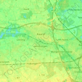
Name: Kaarst topographic map, elevation, terrain.
Average elevation: 41 m
Minimum elevation: 31 m
Maximum elevation: 50 m
Other topographic maps
Click on a map to view its topography, its elevation and its terrain.
Neuss
Alemania > Renania del Norte-Westfalia > Rhein-Kreis Neuss > Neuss
Neuss, Rhein-Kreis Neuss, Renania del Norte-Westfalia, Alemania
Average elevation: 44 m