
Radziejowice topographic map
Interactive map
Click on the map to display elevation.
About this map
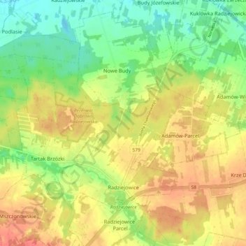
Name: Radziejowice topographic map, elevation, terrain.
Average elevation: 147 m
Minimum elevation: 122 m
Maximum elevation: 170 m
Other topographic maps
Click on a map to view its topography, its elevation and its terrain.
Zboiska
Poland > Masovian Voivodeship > Żyrardów County
Zboiska, gmina Radziejowice, Żyrardów County, Masovian Voivodeship, Poland
Average elevation: 159 m