
Guggeli topographic map
Interactive map
Click on the map to display elevation.
About this map
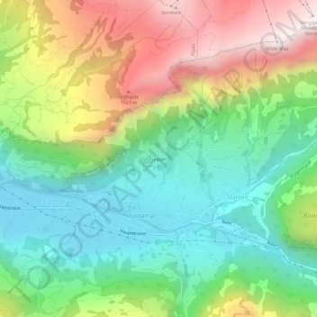
Name: Guggeli topographic map, elevation, terrain.
Location: Guggeli, Stalden, Muotathal, Schwyz, 6436, Suisse (46.96186 8.74915 47.00186 8.78915)
Average elevation: 1,062 m
Minimum elevation: 592 m
Maximum elevation: 1,830 m