
Donceel topographic map
Interactive map
Click on the map to display elevation.
About this map
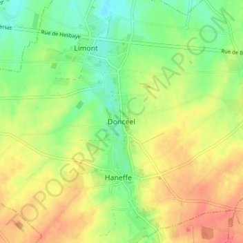
Name: Donceel topographic map, elevation, terrain.
Location: Donceel, Waremme, Liège, Wallonie, 4357, Belgique (50.62790 5.29994 50.66790 5.33994)
Average elevation: 156 m
Minimum elevation: 130 m
Maximum elevation: 183 m