
Turin topographic map
Interactive map
Click on the map to display elevation.
About this map
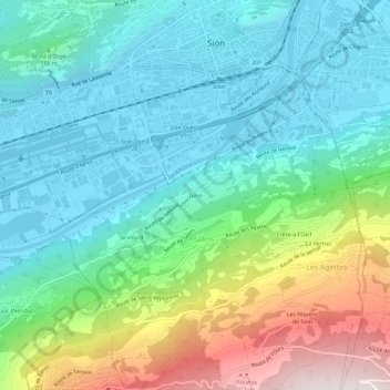
Name: Turin topographic map, elevation, terrain.
Location: Turin, Salins, Sion, Valais, 1950, Suisse (46.19550 7.33580 46.23550 7.37580)
Average elevation: 785 m
Minimum elevation: 476 m
Maximum elevation: 1,619 m
Other topographic maps
Click on a map to view its topography, its elevation and its terrain.