
Thank you for supporting this site ❤️
Make a donation
Make a donation
Ward 13 topographic map
Click on the map to display elevation.
Thank you for supporting this site ❤️
Make a donation
Make a donation
About this map
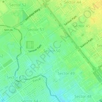
Name: Ward 13 topographic map, elevation, terrain.
Location: Ward 13, Chandigarh, India (30.68752 76.73573 30.71223 76.76116)
Average elevation: 320 m
Minimum elevation: 309 m
Maximum elevation: 332 m
Thank you for supporting this site ❤️
Make a donation
Make a donation