
Wixhou topographic map
Interactive map
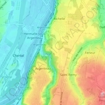
Click on the map to display elevation.
About this map
Name: Wixhou topographic map, elevation, terrain.
Location: Wixhou, Argenteau, Visé, Liège, Wallonie, 4600, Belgique (50.68425 5.67135 50.72425 5.71135)
Average elevation: 105 m
Minimum elevation: 53 m
Maximum elevation: 194 m
Other topographic maps
Click on a map to view its topography, its elevation and its terrain.