
Thank you for supporting this site ❤️
Make a donation
Make a donation
Kampong Ikas topographic map
Click on the map to display elevation.
Thank you for supporting this site ❤️
Make a donation
Make a donation
About this map
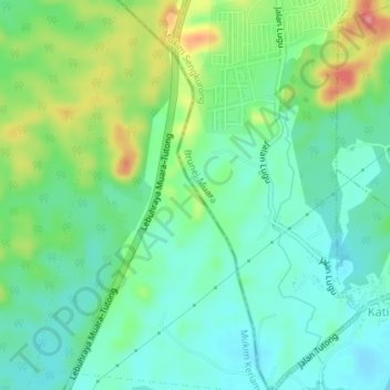
Name: Kampong Ikas topographic map, elevation, terrain.
Location: Kampong Ikas, Mukim Keriam, Tutong District, Brunei (4.86091 114.78067 4.89691 114.80440)
Average elevation: 31 m
Minimum elevation: -1 m
Maximum elevation: 101 m
Thank you for supporting this site ❤️
Make a donation
Make a donation
Other topographic maps
Click on a map to view its topography, its elevation and its terrain.