
Sint topographic map
Interactive map
Click on the map to display elevation.
About this map
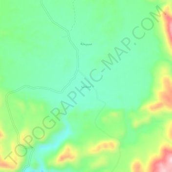
Name: Sint topographic map, elevation, terrain.
Location: Sint, Ad Dhahirah Governorate, Oman (23.11000 57.07000 23.15000 57.11000)
Average elevation: 981 m
Minimum elevation: 890 m
Maximum elevation: 1,170 m