
Gais topographic map
Interactive map
Click on the map to display elevation.
About this map
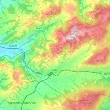
Name: Gais topographic map, elevation, terrain.
Location: Gais, Mittelland, Appenzell Rhodes-Extérieures, 9056, Suisse (47.34642 9.42738 47.39317 9.50792)
Average elevation: 1,005 m
Minimum elevation: 810 m
Maximum elevation: 1,242 m