
Fatehpur Beri topographic map
Interactive map
Click on the map to display elevation.
About this map
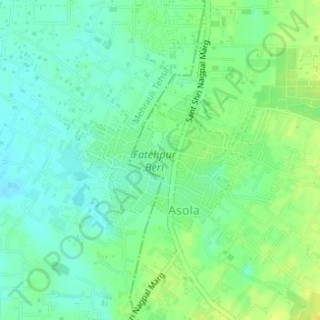
Name: Fatehpur Beri topographic map, elevation, terrain.
Location: Fatehpur Beri, Dera, South Delhi, Delhi, India (28.45144 77.17425 28.46310 77.19121)
Average elevation: 260 m
Minimum elevation: 251 m
Maximum elevation: 271 m
Other topographic maps
Click on a map to view its topography, its elevation and its terrain.