
Rasen-Antholz - Rasun-Anterselva topographic map
Interactive map
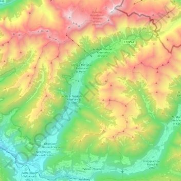
Click on the map to display elevation.
About this map
Name: Rasen-Antholz - Rasun-Anterselva topographic map, elevation, terrain.
Average elevation: 1,934 m
Minimum elevation: 934 m
Maximum elevation: 3,417 m