
Prypiat topographic map
Interactive map
Click on the map to display elevation.
About this map
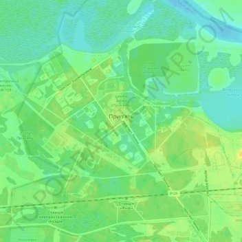
Name: Prypiat topographic map, elevation, terrain.
Location: Prypiat, Вишгородський район, Oblast de Kyiv, Ukraine (51.39446 30.02756 51.41603 30.08274)
Average elevation: 111 m
Minimum elevation: 100 m
Maximum elevation: 123 m
Other topographic maps
Click on a map to view its topography, its elevation and its terrain.