
Lebong Tandai topographic map
Interactive map
Click on the map to display elevation.
About this map
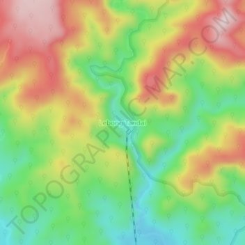
Name: Lebong Tandai topographic map, elevation, terrain.
Location: Lebong Tandai, Bengkulu, Indonésie (-3.04847 101.91076 -3.00847 101.95076)
Average elevation: 311 m
Minimum elevation: 137 m
Maximum elevation: 517 m