
Thank you for supporting this site ❤️
Make a donation
Make a donation
Fredrika topographic map
Click on the map to display elevation.
Thank you for supporting this site ❤️
Make a donation
Make a donation
About this map
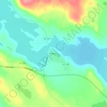
Name: Fredrika topographic map, elevation, terrain.
Location: Fredrika, Åsele kommun, Västerbotten County, 91993, Sweden (64.05730 18.38488 64.09730 18.42488)
Average elevation: 306 m
Minimum elevation: 282 m
Maximum elevation: 364 m
Thank you for supporting this site ❤️
Make a donation
Make a donation