
Oneida County topographic map
Interactive map
Click on the map to display elevation.
About this map
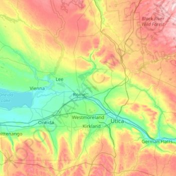
Name: Oneida County topographic map, elevation, terrain.
Location: Oneida County, New York, Vereinigte Staaten von Amerika (42.86332 -75.88676 43.61523 -75.06921)
Average elevation: 331 m
Minimum elevation: 110 m
Maximum elevation: 771 m