
Mundelein topographic map
Interactive map
Click on the map to display elevation.
About this map
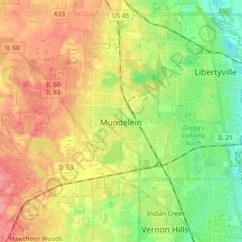
Name: Mundelein topographic map, elevation, terrain.
Location: Mundelein, Lake County, Illinois, 60060, USA (42.22754 -88.06818 42.29962 -87.93859)
Average elevation: 231 m
Minimum elevation: 193 m
Maximum elevation: 271 m