
Carvalhal topographic map
Interactive map
Click on the map to display elevation.
About this map
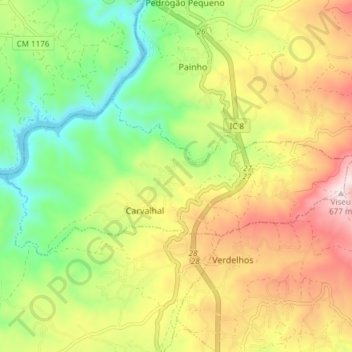
Name: Carvalhal topographic map, elevation, terrain.
Location: Carvalhal, Sertã, Castelo Branco, Portugal (39.86173 -8.16962 39.88772 -8.09410)
Average elevation: 394 m
Minimum elevation: 170 m
Maximum elevation: 670 m