
Robles topographic map
Interactive map
Click on the map to display elevation.
About this map
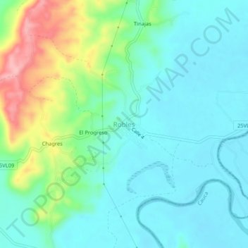
Name: Robles topographic map, elevation, terrain.
Location: Robles, Jamundí, Valle del Cauca, Colombia (3.10921 -76.61433 3.14921 -76.57433)
Average elevation: 1,010 m
Minimum elevation: 973 m
Maximum elevation: 1,120 m