
Neerpelt topographic map
Interactive map
Click on the map to display elevation.
About this map
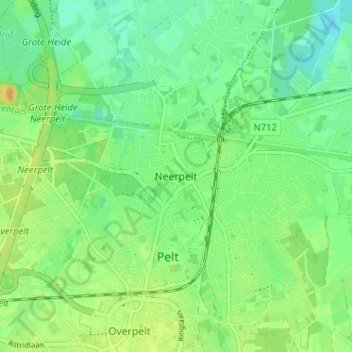
Name: Neerpelt topographic map, elevation, terrain.
Location: Neerpelt, Pelt, Limbourg, Flandre, 3910, Belgique (51.20897 5.41144 51.24897 5.45144)
Average elevation: 41 m
Minimum elevation: 29 m
Maximum elevation: 56 m