
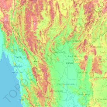
จังหวัดสุโขทัย topographic map
Interactive map
Click on the map to display elevation.
About this map
Name: จังหวัดสุโขทัย topographic map, elevation, terrain.
Location: จังหวัดสุโขทัย, Thailand (14.58470 96.87758 19.70470 101.99758)
Average elevation: 396 m
Minimum elevation: -2 m
Maximum elevation: 2,516 m