
Sellindge topographic map
Interactive map
Click on the map to display elevation.
About this map
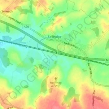
Name: Sellindge topographic map, elevation, terrain.
Location: Sellindge, Folkestone and Hythe, Kent, Inglaterra, Reino Unido (51.08142 0.97794 51.12237 1.02341)
Average elevation: 71 m
Minimum elevation: 45 m
Maximum elevation: 104 m