
Dobromyśl topographic map
Interactive map
Click on the map to display elevation.
About this map
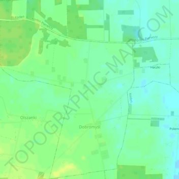
Name: Dobromyśl topographic map, elevation, terrain.
Average elevation: 148 m
Minimum elevation: 140 m
Maximum elevation: 155 m
Other topographic maps
Click on a map to view its topography, its elevation and its terrain.
Kodeń
Poland > Lublin Voivodeship > Biała Podlaska County
Kodeń, gmina Kodeń, Biała Podlaska County, Lublin Voivodeship, Poland
Average elevation: 146 m
Kostomłoty
Poland > Lublin Voivodeship > Biała Podlaska County
Kostomłoty, gmina Kodeń, Biała Podlaska County, Lublin Voivodeship, Poland
Average elevation: 138 m