
Laguna Petenchel topographic map
Interactive map
Click on the map to display elevation.
About this map
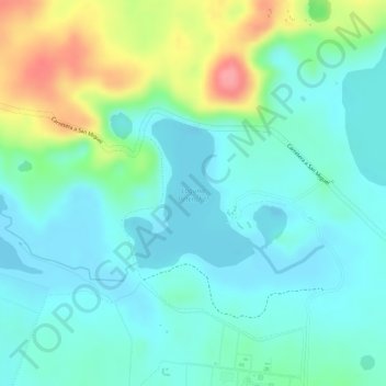
Name: Laguna Petenchel topographic map, elevation, terrain.
Average elevation: 137 m
Minimum elevation: 109 m
Maximum elevation: 205 m
Other topographic maps
Click on a map to view its topography, its elevation and its terrain.
Laguna Quexil
Laguna Quexil, Carretera a San Miguel, Zona 1, Santa Elena, Flores, Petén, 17001, Guatemala
Average elevation: 145 m