
East Richford topographic map
Interactive map
Click on the map to display elevation.
About this map
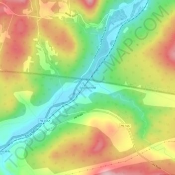
Name: East Richford topographic map, elevation, terrain.
Average elevation: 258 m
Minimum elevation: 146 m
Maximum elevation: 394 m
Other topographic maps
Click on a map to view its topography, its elevation and its terrain.
Stevens Mills
United States > Vermont > Franklin County > Richford
Stevens Mills, Richford, Franklin County, Vermont, United States
Average elevation: 247 m