
沙东乡 topographic map
Interactive map
Click on the map to display elevation.
About this map
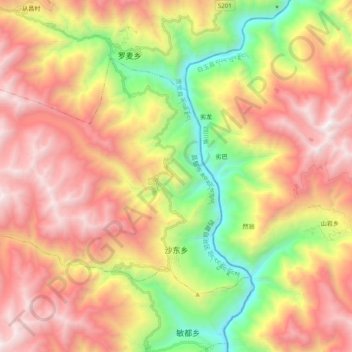
Name: 沙东乡 topographic map, elevation, terrain.
Location: 沙东乡, 贡觉县 གོ་འཇོ་རྫོང།, 昌都市 ཆབ་མདོ་ས་ཁུལ།, Tibete, China (30.59081 98.74379 30.70453 98.94142)
Average elevation: 3,879 m
Minimum elevation: 2,631 m
Maximum elevation: 5,075 m