
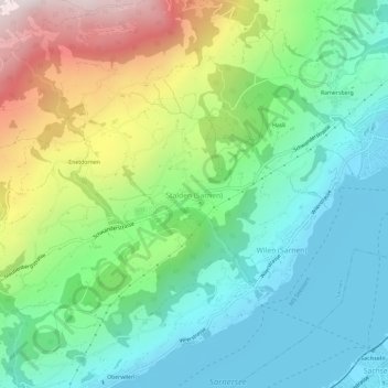
Stalden (Sarnen) topographic map
Interactive map
Click on the map to display elevation.
About this map
Name: Stalden (Sarnen) topographic map, elevation, terrain.
Location: Stalden (Sarnen), Sarnen, Obwald, 6063, Suisse (46.86702 8.19135 46.90702 8.23135)
Average elevation: 784 m
Minimum elevation: 467 m
Maximum elevation: 1,469 m