
Kech topographic map
Interactive map
Click on the map to display elevation.
About this map
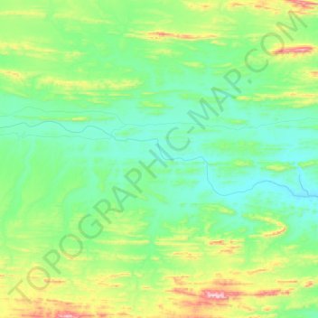
Name: Kech topographic map, elevation, terrain.
Location: Kech, Turbat, ضلع گوادر / Kech, Baloutchistan, 92600, Pakistan (26.25785 63.17140 26.30901 63.41050)
Average elevation: 561 m
Minimum elevation: 433 m
Maximum elevation: 897 m