
Thank you for supporting this site ❤️
Make a donation
Make a donation
l'Ampolla topographic map
Click on the map to display elevation.
Thank you for supporting this site ❤️
Make a donation
Make a donation
About this map
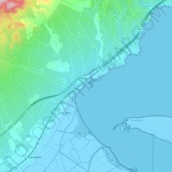
Name: l'Ampolla topographic map, elevation, terrain.
Location: l'Ampolla, Baix Ebre, Tarragona, Catalonië, 43895, Spanje (40.76626 0.64246 40.85052 0.73641)
Average elevation: 41 m
Minimum elevation: -5 m
Maximum elevation: 409 m
Thank you for supporting this site ❤️
Make a donation
Make a donation