
Thank you for supporting this site ❤️
Make a donation
Make a donation
Eastington topographic map
Click on the map to display elevation.
Thank you for supporting this site ❤️
Make a donation
Make a donation
About this map
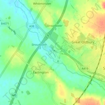
Name: Eastington topographic map, elevation, terrain.
Location: Eastington, Stroud, Gloucestershire, England, United Kingdom (51.73361 -2.35416 51.77301 -2.29962)
Average elevation: 26 m
Minimum elevation: 9 m
Maximum elevation: 52 m
Thank you for supporting this site ❤️
Make a donation
Make a donation