
Tahoua topographic map
Interactive map
Click on the map to display elevation.
About this map
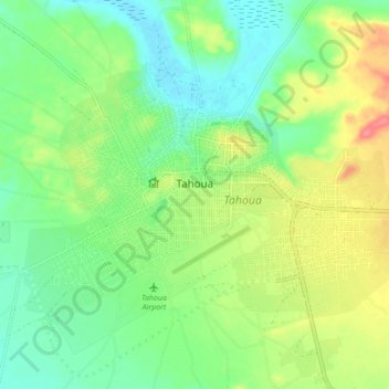
Name: Tahoua topographic map, elevation, terrain.
Location: Tahoua, 5000, Niger (14.85925 5.22400 14.91590 5.31038)
Average elevation: 380 m
Minimum elevation: 354 m
Maximum elevation: 422 m