
Thank you for supporting this site ❤️
Make a donation
Make a donation
Hahangan topographic map
Click on the map to display elevation.
Thank you for supporting this site ❤️
Make a donation
Make a donation
About this map
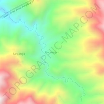
Name: Hahangan topographic map, elevation, terrain.
Location: Hahangan, Mamasa, West Sulawesi, Sulawesi, Indonesia (-2.82777 119.25957 -2.78777 119.29957)
Average elevation: 1,446 m
Minimum elevation: 953 m
Maximum elevation: 2,092 m
Thank you for supporting this site ❤️
Make a donation
Make a donation