
Thank you for supporting this site ❤️
Make a donation
Make a donation
Aldekerk topographic map
Click on the map to display elevation.
Thank you for supporting this site ❤️
Make a donation
Make a donation
About this map
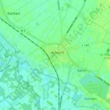
Name: Aldekerk topographic map, elevation, terrain.
Location: Aldekerk, Kerken, Kleef, Noordrijn-Westfalen, 47647, Duitsland (51.41915 6.39660 51.45915 6.43660)
Average elevation: 33 m
Minimum elevation: 27 m
Maximum elevation: 42 m
Thank you for supporting this site ❤️
Make a donation
Make a donation