
Logansport topographic map
Interactive map
Click on the map to display elevation.
About this map
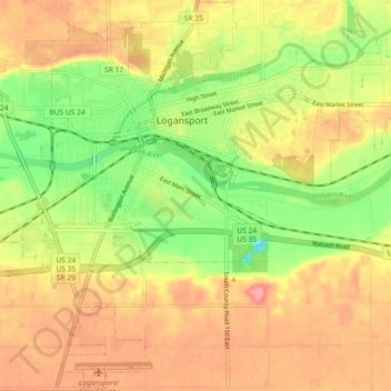
Name: Logansport topographic map, elevation, terrain.
Location: Logansport, Cass County, Indiana, 46947, USA (40.70702 -86.39397 40.77535 -86.30280)
Average elevation: 203 m
Minimum elevation: 153 m
Maximum elevation: 245 m