
Conner topographic map
Interactive map
Click on the map to display elevation.
About this map
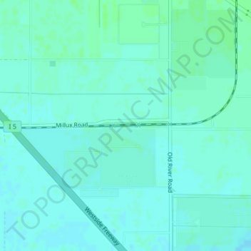
Name: Conner topographic map, elevation, terrain.
Location: Conner, Gulf, Kern County, California, 93311, USA (35.17001 -119.12588 35.19001 -119.10588)
Average elevation: 88 m
Minimum elevation: 85 m
Maximum elevation: 93 m